This week through the help of Tim, the group were able to experiement with Jupyter. When using Jupyter the idea was to return images to the required place (whether it be a specific street, city or area). When running Jupyter, the results returned the photos to their places and can be accessed when clicked upon. Here is an example:
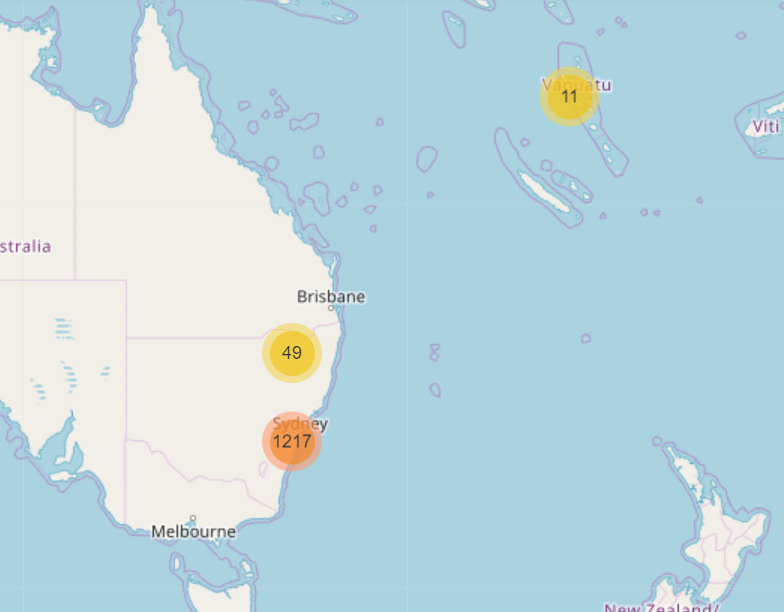
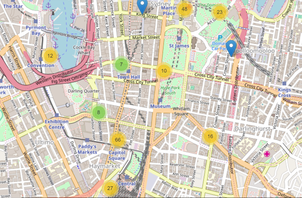
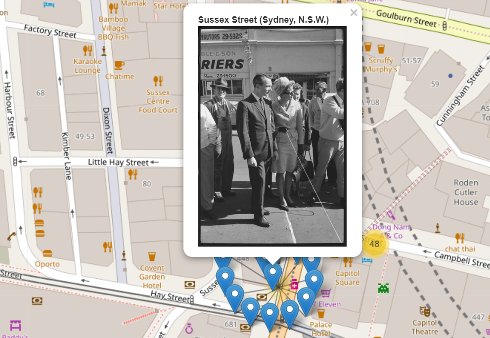
Though it was discovered that the data may need to be cleaned up in order to return more accurate results for the map.
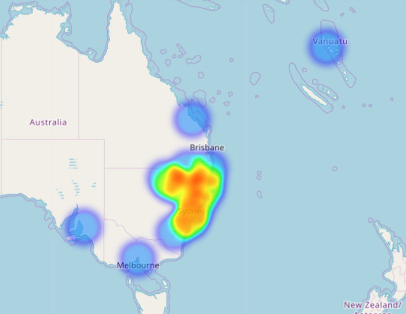
Jupyter was also used to create a heat map, as you can see below:
As for the next week, the group is looking to clean up data that didn’t return correctly and potentially make an interface for the maps. Additionally we are also looking at other ideas to present the photos.